
Pictures Of Line & Trackbed From Robertsbridge To Bodiam
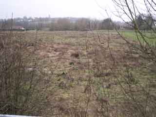
From A21 back towards 6th Bridge (Far Distance)
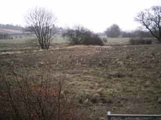
From A21 towards Salehurst (Trackbed leftside of picture)
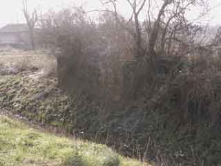
Seventh Bridge. Between A21 and Salehurst. Good condition but missing girders.
GPS: Lat N 50° 59' 23'' / Long E 0° 28' 51''
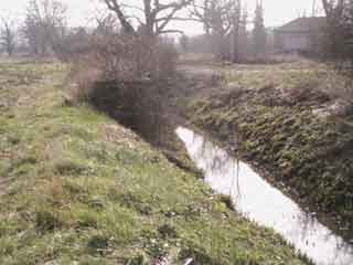
East abutment. Southern Water pumping building top right.
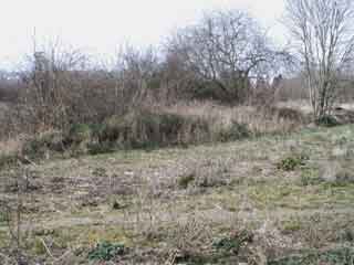
Looking directly at abutments, Robertsbridge direction. The bridge was built on a skew. The hump is the level of the shallow embankment that ran across the field, probably about two feet high.
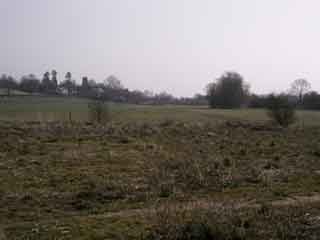
Looking to Salehurst, church on left. The track ran on the shallow embankment directly across this field, following the middle line of this picture. There are two more bridges, one a flood, across the field, but the present landowner cannot be contacted for access.
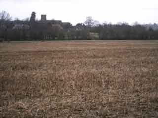
Salehurst - Trackbed In Treeline.
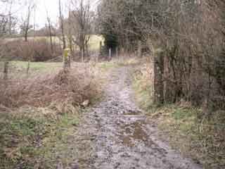
Salehurst Halt Crossing
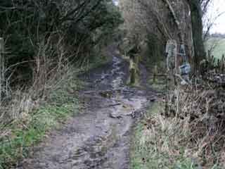
Lane Up To Salehurst From Crossing
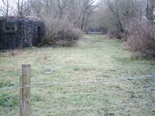
Site Of Salehurst Halt (And War Defence)
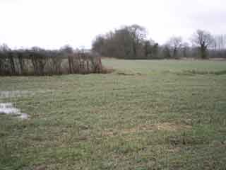
Salehurst Looking Towards Embankment (Udiam Direction)
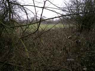
Embankment End - Looking Back Towards Salehurst Halt
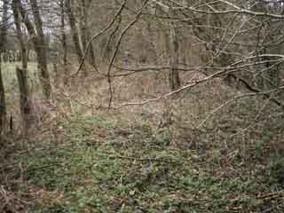
Embankment Towards Udiam
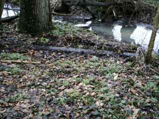
Discarded Sleeper With Chairs
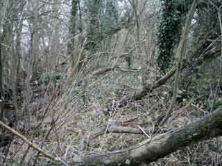
Embankment - Just Waiting For Clearance Gang
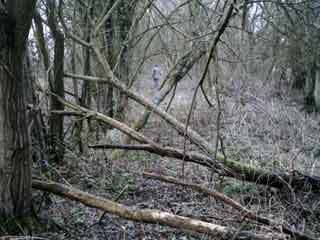
A Lot Of Dead Wood
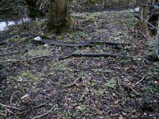
More Abandoned Items
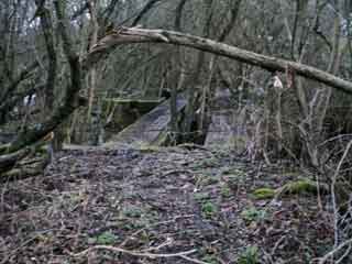
Flood Bridge (With Tree Through Centre)
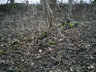
Another Abandoned Sleeper

Copyright © 2004 Skullclamp Creations. All rights reserved.